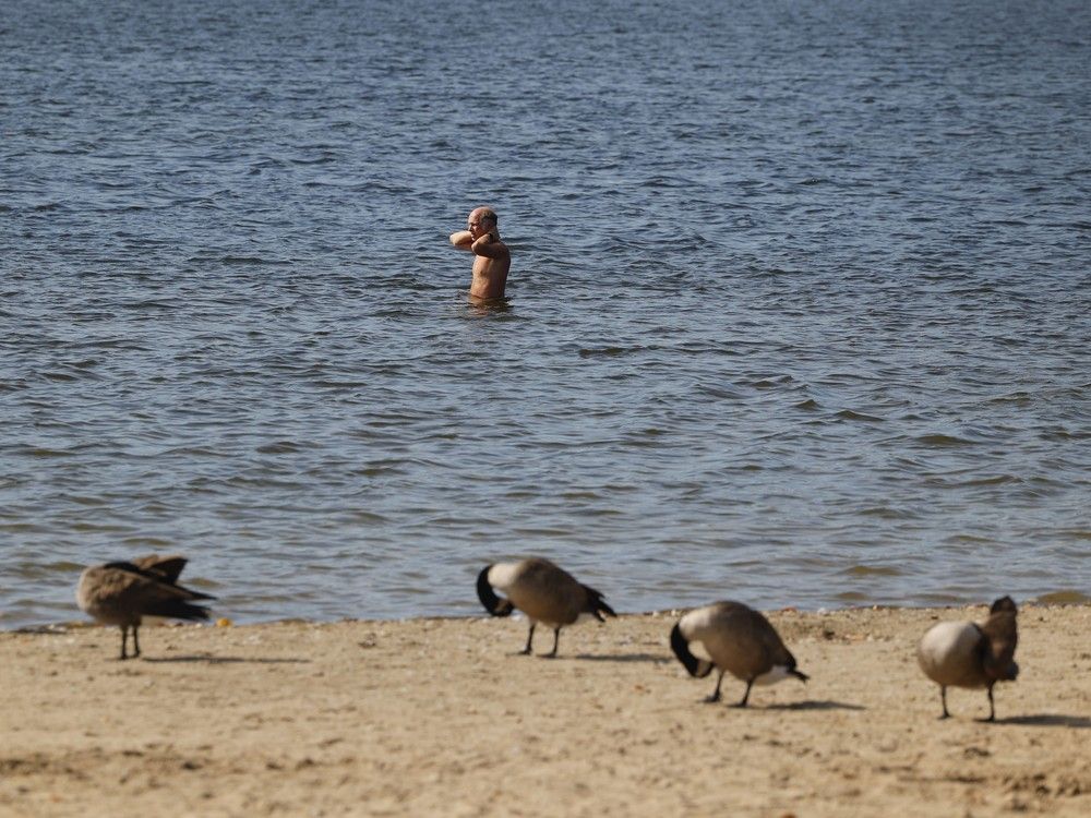
Ottawa has broken a daily heat record for the second day in a row as temperatures approached 29 C on Monday afternoon —
nearly 16 C higher than seasonal averages expected for early October.
The temperature climbed to 28.8 C as of
3 p.m. Monday afternoon
, surpassing the previous Oct. 6 record high of 27.2 set in 1946, according to Environment Canada. Sunday’s 29.9 C weather was also the warmest Oct. 5 on record, by more than two degrees, breaking a previous heat record of 27.5 C set in 2023.
The record-breaking October heat comes as the city has received less than half of the rainfall normally expected over the last three months,
marking the driest summer since the drought year in 2012
.
Ottawa received 127 millimetres of rain between June 1 and Oct. 5, which represents 41 per cent of the normal total of 271 millimetres, according to climatologist David Phillips.
In the last month, Ottawa has only received 31 millimetres of rain, 30 per cent of what is expected in an average September.
“It’s been too hot, too dry for too long,” Phillips said. “The frequency (of rainfall) is down, the amounts are down and the heat that demands that precipitation is way up.”
Fall is usually a critical period for the soil to replenish its moisture levels, Phillips said, since the cooler autumn temperatures mean less water evaporates into the air.
“There’s less demand for precipitation because the atmosphere is not as hot, so therefore any rain that comes will go to to replenish reservoirs, groundwater, streams and rivers,” he said. “But that just hasn’t happened (this year), and that’s quite alarming.”
Five of six conservation authorities in Eastern Ontario have declared a Level 3 low-water advisory, encompassing a portion of nearly every municipal ward in Ottawa.
While Level 3 is not an emergency state, it’s an indication that supply for local watersheds in the region is outpacing demand. Level 3 conditions are triggered when rainfall deficits fall below 40 per cent of the long-term average, according to the
Rideau Valley Conservation Authority
.
While around 10 millimetres of rain was expected on Tuesday alongside cooler temperatures, Phillips said it may provide little relief, with dry, warm weather expected to return by the weekend.
It would take more than one rainy day to satiate the parched soils, with almost 144 millimetres of rain needed just to bring things back up to balance, Phillips said. That’s the amount of rain that would normally fall over the course of two months.
“What we need is almost like a remnant of a hurricane,” Phillips said. “If we get a hurricane coming in and bringing with it a real wet weekend, then you can make up some of that deficit in a very short time.”
But if it weren’t for Ottawa’s above-average 416 millimetres of rain in 2024, Phillips said this year’s dry season effects would have been much more devastating, as soils can still pull from last year’s moisture.
“The wet season of last year was almost like putting money in the bank, and now this year we’re withdrawing it,” he said.
Many trees are more stressed due to the heat, with many “starting to shut down early” by dropping their leaves and fall nuts up to a week earlier this fall, said Ian Cochrane, the forestry program manager at the Rideau Valley Conservation Authority.
But trees handle stress well over short periods, he said, but impacts on forests may worsen the longer the dry period continues.
Related
- The NCC wants a new reputation, and a different Ottawa
- Canadian sailor who blew whistle on ‘Officer X’ to be booted from military