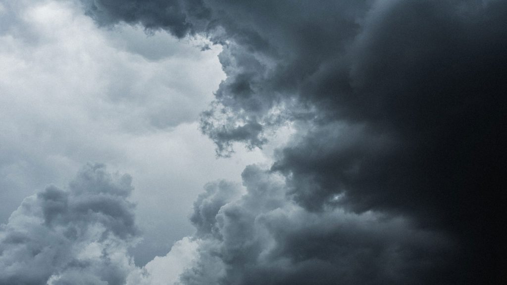
Toronto could be in for some “dangerous thunderstorms” with the potential for tornadoes that could develop across a wide span of Ontario on Tuesday afternoon.
Environment Canada has expanded its severe thunderstorm watch to all of the southern Ontario, including the Greater Toronto Area (GTA), as well as central Ontario and the eastern parts of the province.
“A cold front moving through the area is expected to trigger severe thunderstorms this afternoon,” the national weather agency stated in its watch.
“Be prepared for severe weather. Take cover immediately, if threatening weather approaches.”
It said the storm could cause wind gusts of 110 km/h, damaging hail measuring up to four centimetres, and bring with it a risk of tornadoes.
680 NewsRadio weather specialist Denise Andreacchi said it’s expected the worst of the storms will hit the region between 5 p.m. and 7 p.m.
It comes as Toronto Pearson Airport recorded a record-high 27.7 C, breaking the temperature record set back in 1942.
The warmer weather will be short-lived as the temperature is expected to drop to a chilly 3 C overnight.
The severe weather could also impact fans heading to Maple Leaf Square to catch Game 5 of playoff action between the Leafs and Ottawa Senators.
Click here for the five-day forecast.