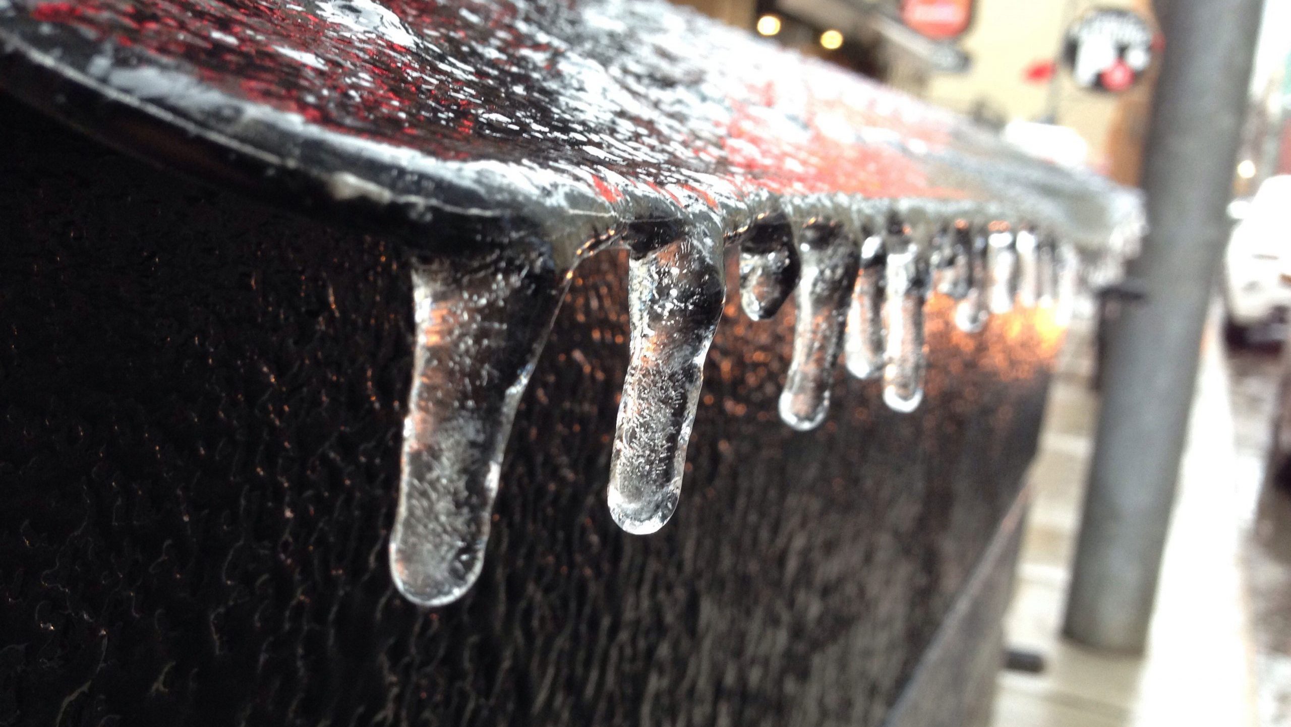
Freezing rain warnings have been issued for Durham Region and York Region ahead of an ice storm that could bring up to 10 mm of ice accretion.
Environment Canada issued the warnings early Friday morning with the storm expected to begin this evening into Sunday morning.
The weather agency says the rain will begin in the late afternoon before transitioning into freezing rain, but there is a chance the rain will return on Saturday as the temperature is expected fluctuate around the freezing mark.
With the significant chance of ice accretion up to 10 mm, power outages are likely and the roads will be icy and slippery.
Environment Canada advises postponing non-essential travel until after the storm.
Toronto and the GTA remain under a special weather statement with the potential for freezing rain is early Saturday morning and again early Sunday morning, says 680 NewsRadio meteorologist Jill Taylor.
The storm system will be also be temperature dependent, Taylor said. So far, the morning lows are “near or just above freezing for [the] Toronto area and may stay as all rain for Toronto.”
Environment Canada says freezing rain warnings still may be issued for Toronto and surrounding areas.
In December 2013, an ice storm hit the GTA with more than 30 millimetres of ice accretion and caused large scale power outages. Another icy system moved through the region back in April 2018, but Taylor said it was not as prolonged as the 2013 storm.
Click here for details on the forecast.