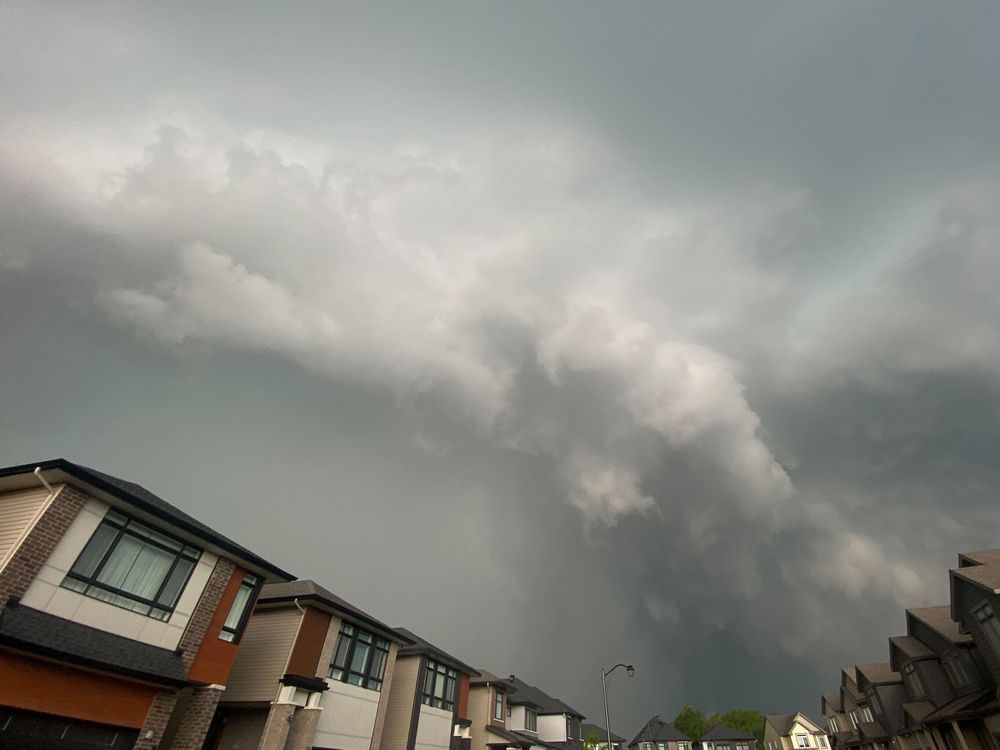
Environment Canada has issued a series of severe thunderstorm warnings for a number of spots in the capital region.
The severe warnings are now in place for both the Ottawa South (Richmond to Metcalfe) and Ottawa North (Kanata to Orleans) regions.
In addition, Environment Canada said it is tracking severe thunderstorms which could produce a tornado in the Petawawa and Pembroke area.
According to the weather agency, the damaging winds could produce large hail and intensify local rainfall. The agency warned residents to take immediate cover if a thunderstorm approaches. If outside, protect yourself from flying debris and hail.
“This is a dangerous and potentially life-threatening situation,” the government body said.
The weather office also noted the possibility of wind gusts up to 100 km/h accompanying “torrential rainfall with amounts exceeding 50 mm.”
“A tornado is also possible,” the message notes.
Thunderstorms along a cold front are still expected to move through the region Thursday afternoon before leaving Ontario by this evening.
Environment Canada cautions utility outages are possible, as is significant damage to property, buildings and trees.
Emergency Management Ontario recommends that you take cover immediately if threatening weather approaches.
“Heavy rain can cause flash flooding and significant reductions to visibility.”
Environment Canada continues to forecast a break in the heat overnight, with sunny skies and a high of 24 C on Friday.
Our website is your destination for up-to-the-minute news, so make sure to bookmark our homepage and sign up for our newsletters so we can keep you informed.