Southern Ontario residents should keep their snow shovels and plows ready this week as multiple weather systems threaten to cause significant snowfall.
On Monday, Environment Canada issued a special weather statement for Toronto and surrounding regions, warning of heavy snow and possible freezing rain.
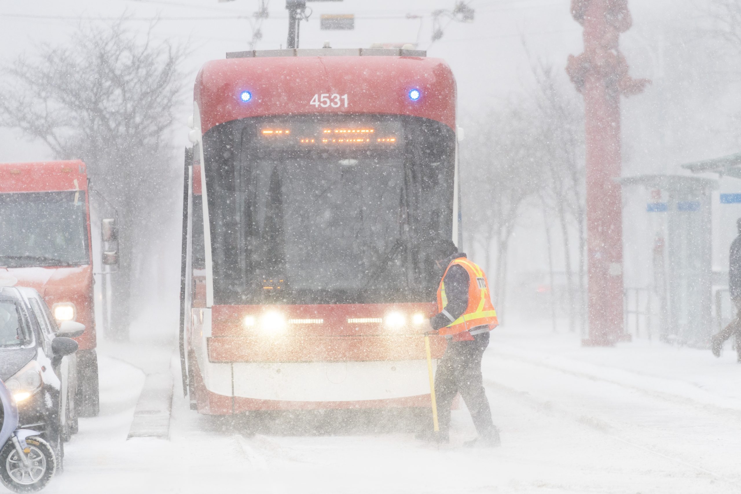
The first system is set to arrive Wednesday, bringing snow, gusty winds, and the possibility of rain or a wintry mix in some areas. While the exact track and impacts remain uncertain, some regions could see over 20 cm of snowfall by Thursday.
“Confidence in the exact track of the low-pressure system is uncertain at this point, but it is likely that snow will transition to freezing rain or rain late Wednesday night or Thursday morning,” Environment Canada wrote in its weather alert for Toronto.
As the storm advances Wednesday afternoon, snowfall will intensify through the evening and overnight, especially in areas north of Lake Ontario, including parts of cottage country.
“If the track of the low-pressure system shifts farther south, precipitation will remain predominantly snow, and significantly higher amounts will be possible,” Environment Canada added. “Regardless of the track of the weather system, hazardous travel conditions are likely Wednesday evening into Thursday morning. Motorists are urged to consider postponing non-essential travel until conditions improve.”
Toronto’s daytime high on Wednesday will be -3 C, though strong wind gusts will make it feel like -14. Temperatures will increase to 1 C on Thursday, and mixed precipitation is forecasted.
Weekend snowstorm possible for Toronto, GTA
The highest chance for heavy snowfall is early Thursday morning in southern and eastern Ontario, as widespread, intense snow could deliver accumulations exceeding 20 cm. Due to gusty winds up to 70-90 km/h, power outages are also possible on Thursday.
Toronto and GTA residents will get a temporary break on Friday, but another winter storm could impact the region over the weekend. A Colorado low is forecast to track just south of the area, bringing widespread snowfall to southern Ontario on Saturday.
Though subject to change, snow is forecasted to fall early Saturday morning, with 8 cm possible by the afternoon. In the evening hours, additional accumulations of 5 cm could be observed, with snow tapering off overnight.
Saturday’s daytime high is forecasted to be -2 C, though it will feel closer to -5 with the wind chill in Toronto.
Toronto was blasted with the season’s heaviest snowfall on Saturday, Feb. 8, with 13 cm falling downtown and 15 cm recorded at Pearson International Airport — the most this winter.
Click here to sign up for the CityNews Weather Guarantee and to check out Toronto’s extended forecast.

