

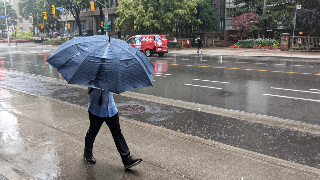
Federal meteorologists have issued a severe thunderstorm watch for the Greater Toronto Area, warning a cold front could bring rain, hail and wind gusts of up to 110 km/h.
According to the statement issued by Environment and Climate Change Canada Saturday morning, a yellow-level watch was issued for Toronto and parts of Peel, York, Durham and Halton regions as well as Hamilton.
Forecasters said a cold front, which was over Michigan early Saturday, was expected to bring in thunderstorms. They said the strongest impacts could be felt locally late morning and early afternoon.
The statement noted hail could be the size of a quarter and up to the size of a ping pong ball. Rainfall amounts were forecast to be up to 40 millimetres.
“Driving conditions may be difficult. Local utility outages are possible. Damage to roofs, fences, branches or soft shelters is possible,” the Environment and Climate Change Canada statement said.
“Heavy rain can cause flash flooding and significant reductions to visibility. Severe thunderstorm watches are issued when conditions are favourable for the development of thunderstorms capable of producing damaging hail, wind or rain.”
For the latest watches and warnings, click here.
The watch comes amid ongoing air quality warnings due to smoke from wildfires in northwestern Ontario.
Add CityNews Toronto as a trusted source on Google to see more local stories from us.


